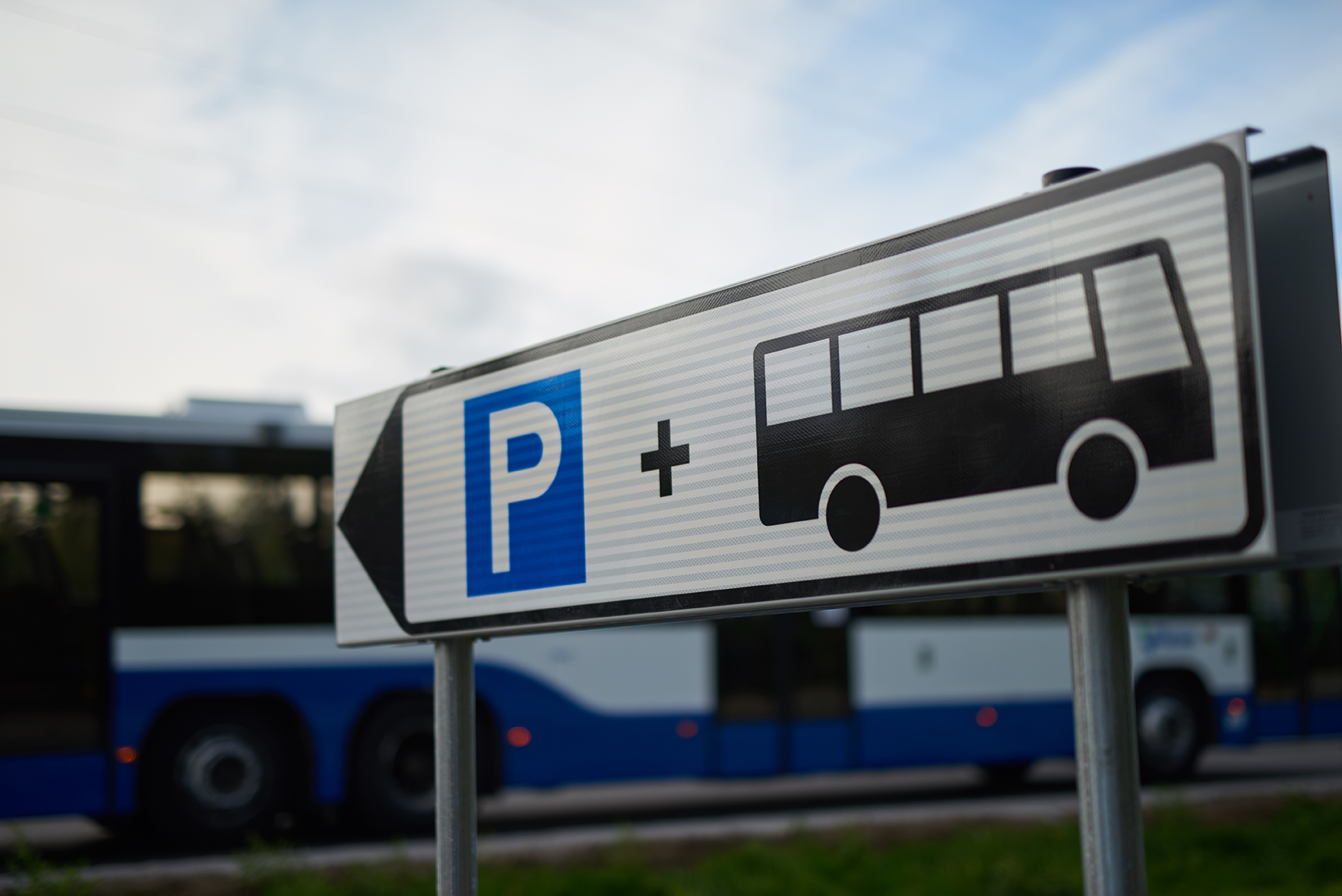
The free spaces in the Niihama transit parking are shown in Nysse Journey Planner
"The counting data is exported via an interface to the national information service for transit parking, from which the Nysse Journey Planner receives real-time data," says Petri Hakala, public transport engineer at Nysse.
The image processing system can also produce partially incorrect data. For example, it may not detect a free space behind a large car.
Bringing real-time parking information to other transit car parks is possible and under consideration. We will keep you informed as planning progresses.
You can see all the transit car parks in the Nysse area in the map settings of the journey planner. On a small screen, such as a mobile phone, you can view the map and its settings, for example under Buses and nearby stops on the map.
You can save the link to your favourites so that you can find it quickly when you need it.


